


Cap Leucate — la pointeLeucate
dangerousexposed head-on to the swell today
- window
- —
- Seabed depth of the selected area
- ≈2.8–8.9 m — middle 80% of sea cells within 200 m (depths outside the range occur); from the NGF IGN69 height datum (not a water level); water level not accounted for (bathymetry SHOM Litto3D, 5 m, © Shom)
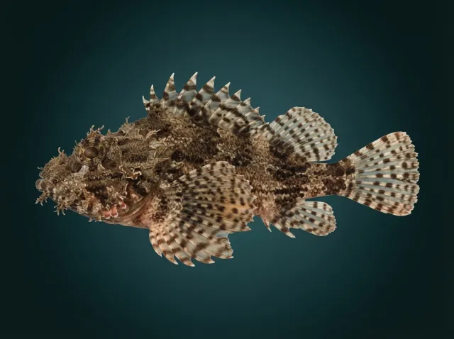
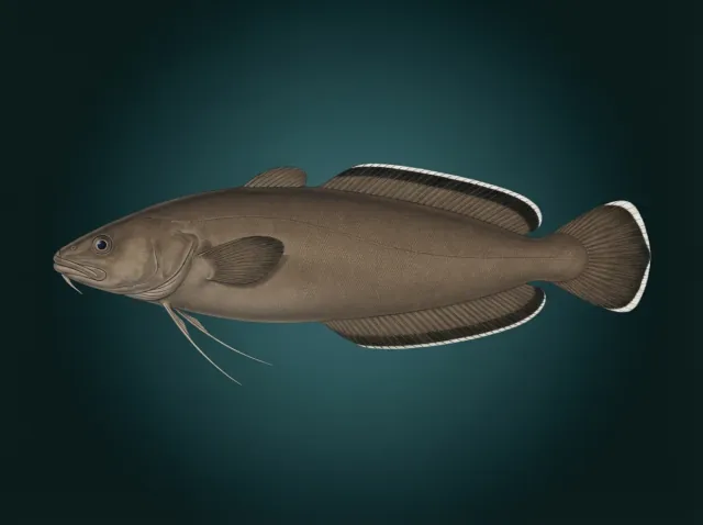
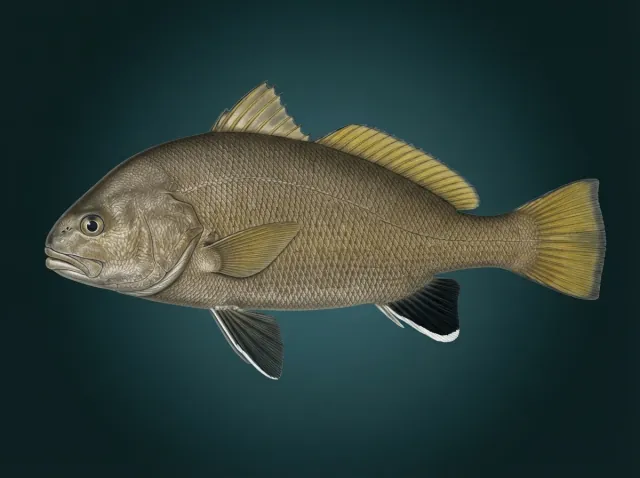
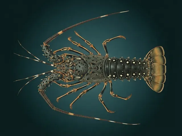
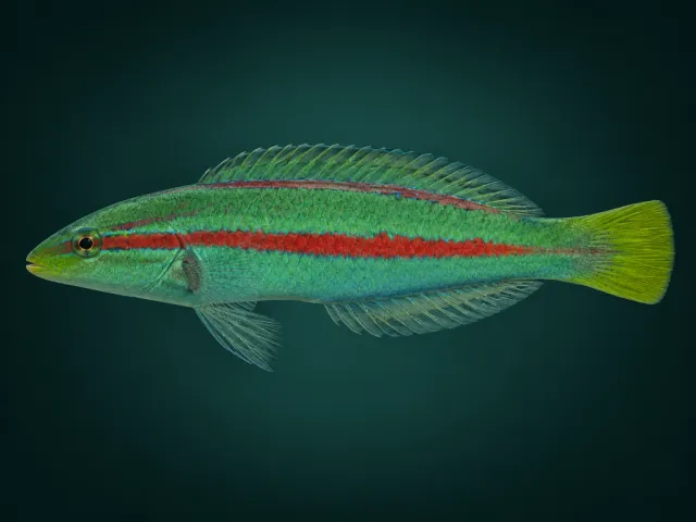
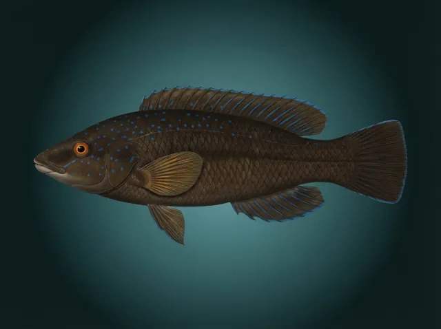
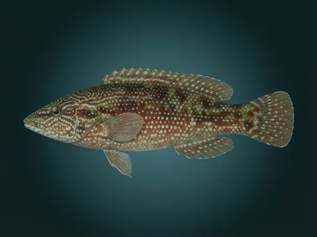
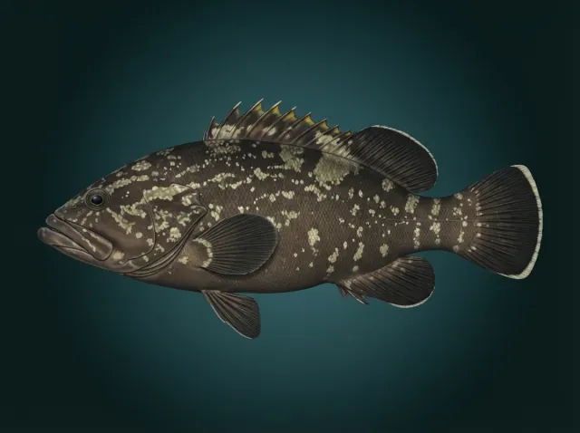
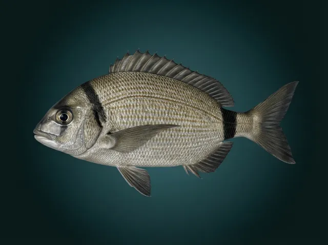
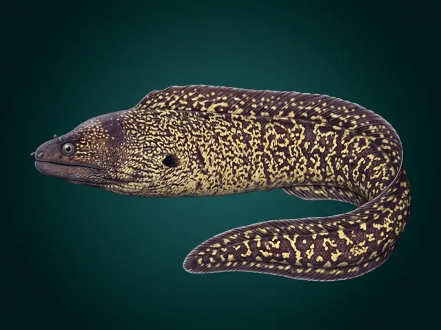
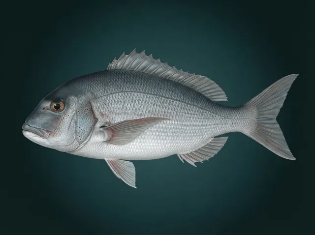
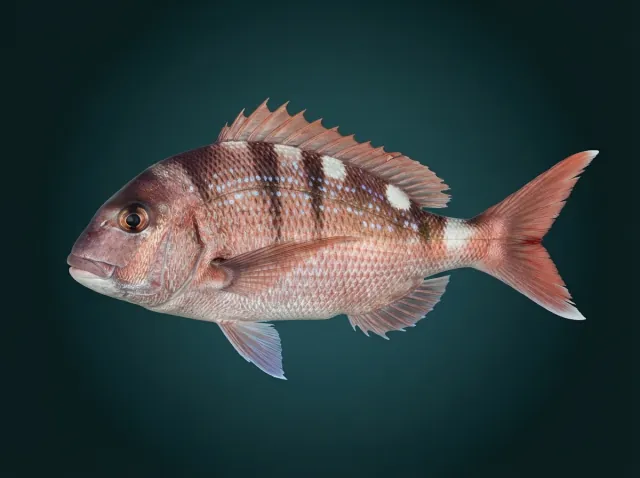
The cape tip, limestone blocks and faults on a mixed bottom, 3–18 m, shore via the path or by boat; bass, bream, gilthead, conger. The current builds on the point.
Google Maps